

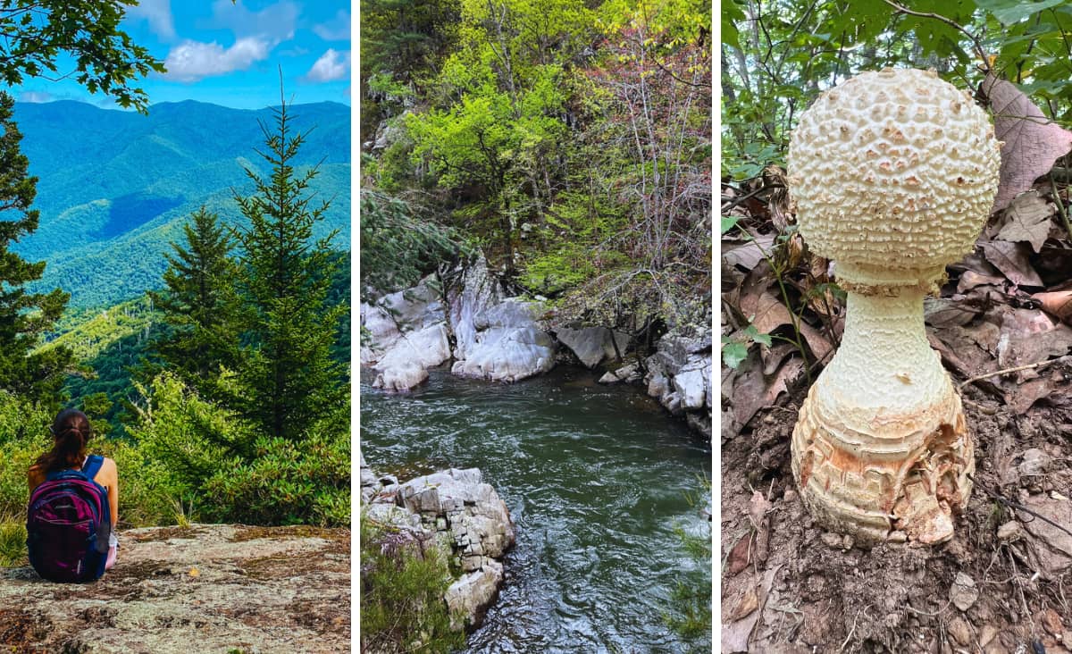
With those breathtaking Blue Ridge Mountains, it’s no surprise that hiking is one of the top things to do in Asheville, NC, and there certainly is no shortage of trails to choose from.
If Tom and I had to pick the best local Asheville hiking trails—not just the (unforgettable) blockbusters like Chimney Rock, Mount Mitchell, Grandfather Mountain, and Linville Falls—we’d go with Bailey Mountain Preserve, Laurel River, and Masters Park to Haw Creek, all under one hour away from Asheville. Of course, we have endless guides featuring other top hikes, like Craggy Gardens, Craggy Pinnacle, Black Balsalm, Graveyard Fields, and Max Patch.
This post contains affiliate links that earn us a commission. Love our free guides? Tip us & add us as a Preferred Source.
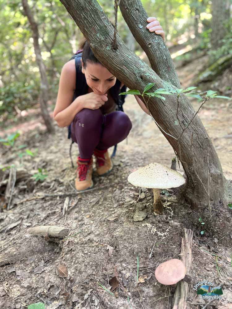
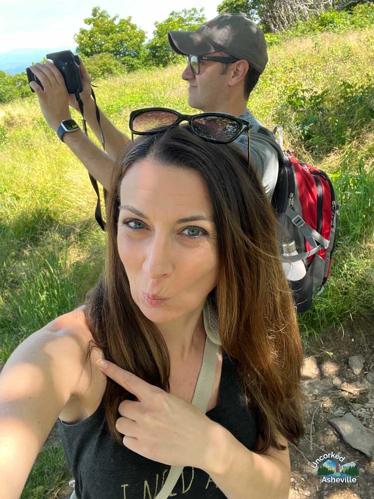
📸 As avid hikers and AVL residents, all photos and experiences are our own. Please know estimated times are how long these hikes take Tom and me. We are short, in our 40s, and slow. We track our distance on the Gaia GPS app, and we stop for photos, breaks, and picnics. I need to use my Seek app on every bird, wildflower, and mushroom. No need to flex in the comments. 💪🏼😂
Afterward, discover our top recommended Asheville waterfall hikes like DuPont State Forest, Catawba Falls, Mingo Falls, and Moore Cove Falls, updated for what is open post-Helene. 💙 Christine of Uncorked Asheville
Best Local Asheville Hiking Trails Under 1 Hour Away
Along with the hikes listed below, we enjoy Pink Beds Loop and Daniel Ridge Loop. In September and October, try these unforgettable fall foliage hikes, including Mount Pisgah, Graveyard Loop/Fields, and Black Balsam via the Art Loeb Trail. If the Blue Ridge Parkway is closed for icy weather, we suggest these winter trails like Bearwallow Mountain.
3 gem Asheville trails that still enchant us as locals
🐉 Say “hello” to the dragon tree at Skinny Dip Falls, take pictures of the coolest mushrooms at Masters Park to Haw Creek Overlook, and follow the magical trees up the mountain at Bailey Mountain Preserve. 🍄

Masters Park To Haw Creek Overlook (East Asheville)
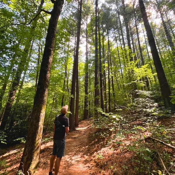
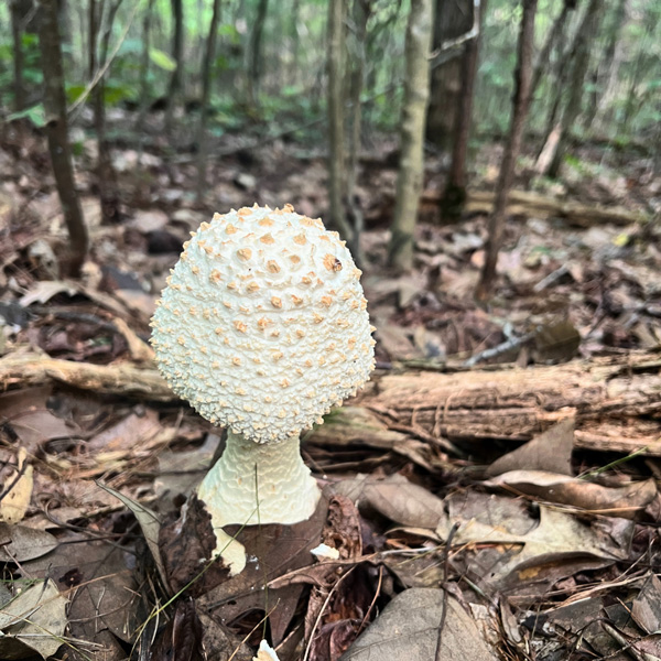
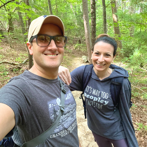
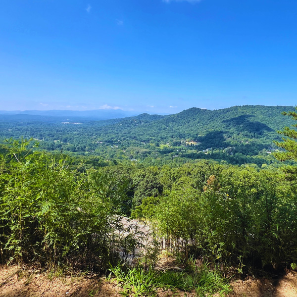
If you are looking for hidden gem hikes in Asheville, Masters Park to Haw Creek Overlook promises a stunning overlook, perfect for picnics. I call this trek the “mushroom hike,” and you’ll quickly see why. 🍄
I most appreciate the breathtaking views at the top. My only con is that you have to walk across the sometimes busy Blue Ridge Parkway, and the slanted rock at the top is a little terrifying but worth it. If you aren’t having a Leave-No-Trace picnic at the top, head into Asheville for lunch afterwards.

Plan Your Magical Adventure: Our Free Asheville Guide + Bucket List
Little Butt & Big Butt Trails (Sections Still Closed For Helene | Black Mountain)
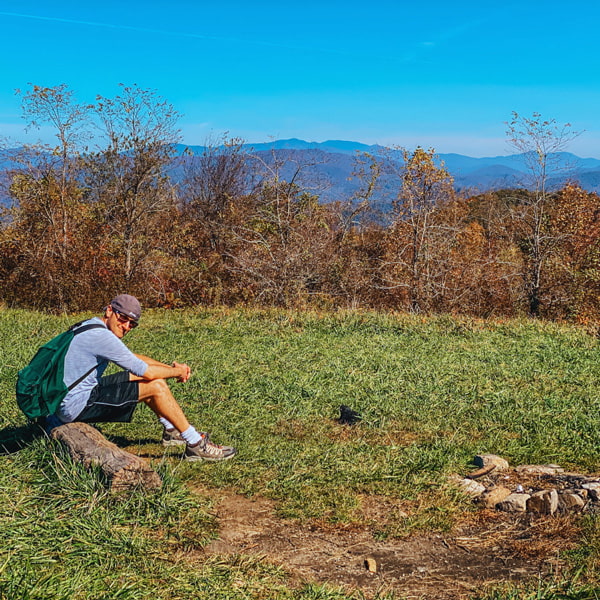
2026 Update: The Big Butt Trail is open from the Highway 197 trailhead (Cane River Gap) to the Little Butt viewpoint, which is where I am sitting below. The trail from the Little Butt viewpoint to the Blue Ridge Parkway trailhead is closed due to Hurricane Helene damage (description below). I’ll update this status when it reopens.
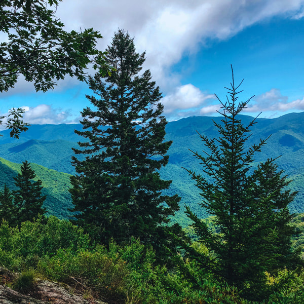
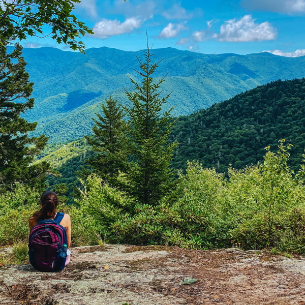
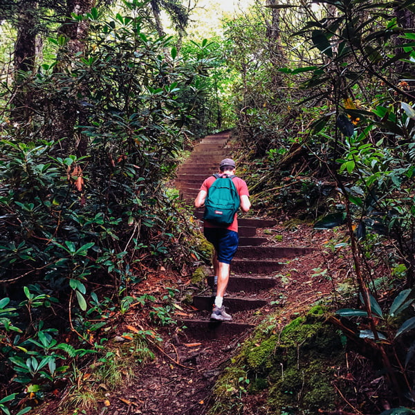
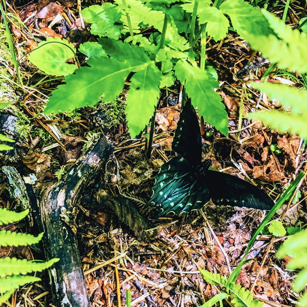
Little Butt and Big Butt are two of my favorite harder hikes along the Blue Ridge Parkway, and Tom and I joke that they will certainly get your butt in shape.
With such a small parking lot from the BRP, we only ever pass a few hikers deep into the forest. Because this trail is more strenuous—you’ll find yourself cursing forest and rock stairs—we pack a picnic to enjoy on Little Butt’s rock overlooking the beautiful Black Mountain range. Before the trailhead, spot markers for the Mountains-to-Sea Trail.
Some of our readers and friends prefer guided hiking tours. Two include this Blue Ridge Parkway & Waterfalls tour or this Guided Day Trip along the BRP.
Bailey Mountain Preserve (Mars Hill)
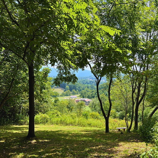
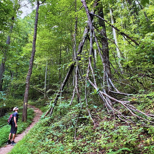
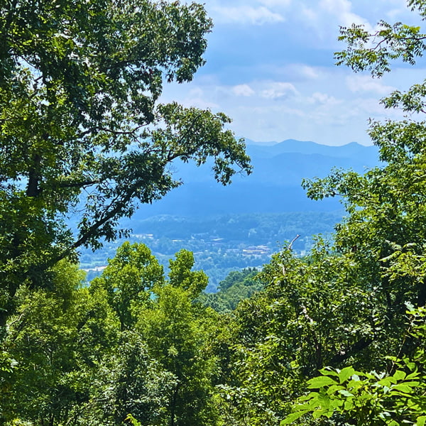
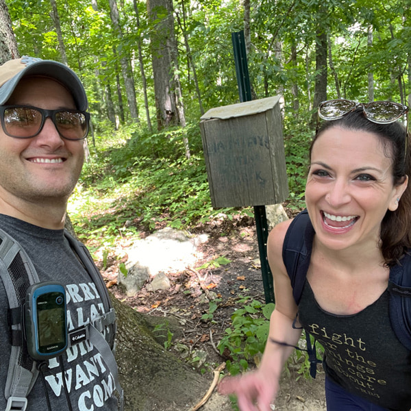
Bailey Mountain Preserve is a quiet, local, and well-maintained trail in Mars Hill, NC with quite the elevation gain; read as: I wanted to barf with Graves’ Disease at 1,476 feet. Think gorgeous scenery and great for a workout.
This trail takes us quite some time to ascend, but we halve our time on the descent. The best views are at the beginning of the hike and about 90% of the way toward the summit, which peaks at an elevation of 3,554 feet. There’s a book to sign at the very top but no views.
I don’t recommend hiking Baily Mountain Preserve when it is hot outside. We’ve almost sweated off the mountain. If you can handle the heat, though, power to you.
Laurel River Trail (Marshall)
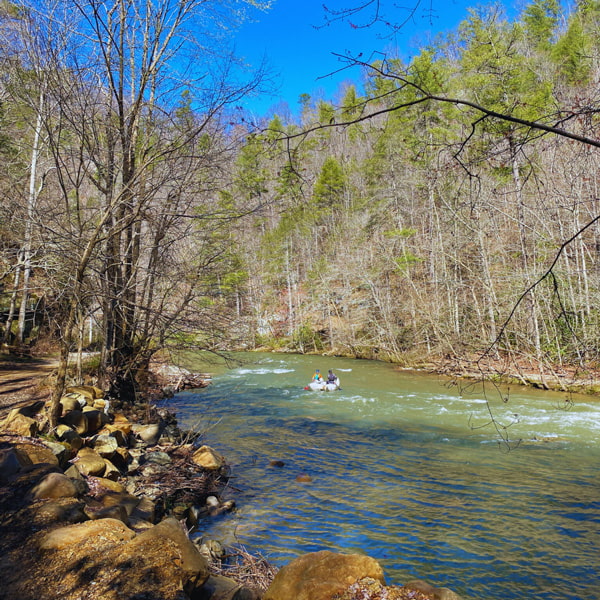
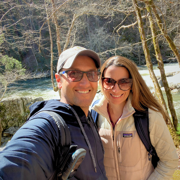
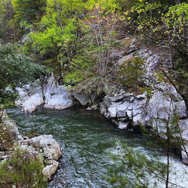
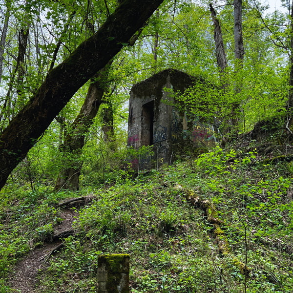
Marshall and Hot Springs are two of my favorite small mountain towns filled with more top hiking trails near Asheville like Max Patch, Lover’s Leap, and Laurel River, two of which intersect the Appalachian Trail.
The first mile of the Laurel River Trail cuts through private property with plenty of warnings to stay on the path. Once in public land, visitors picnic and swim in safe areas. You’ll even see whitewater rafters.
The area is incredibly scenic and peaceful, perfect for hiking with dogs and kids. Make it as long or short as you wish.
Afterward, we like to head to Downtown Marshall for lunch at Zadie’s Market, iced matcha at Zuma, and shopping at the gourmet grocery store, Madison Foods.
🌀 Helene devastated this Western North Carolina mountain town, and they’ve made a heartfelt comeback. Buy all the things while here. Locals are incredibly welcoming, there’s street parking, and it’s just a funky-fun place.
Skinny Dip Falls (Canton)
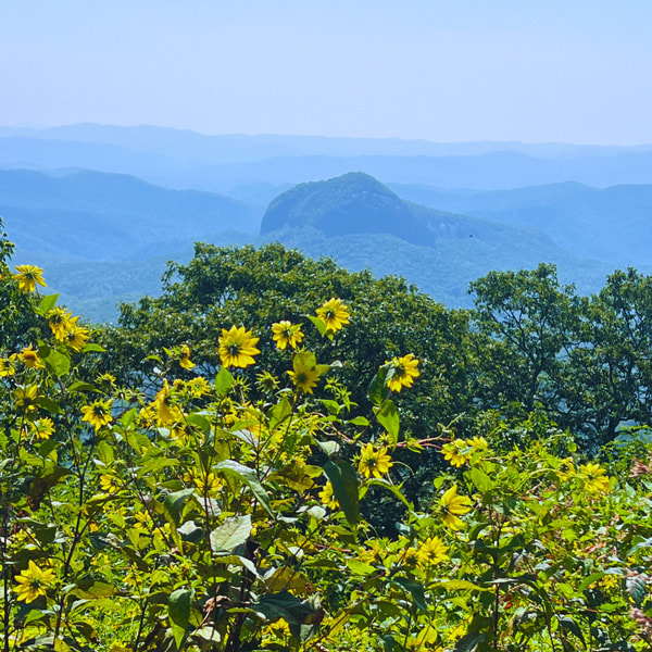
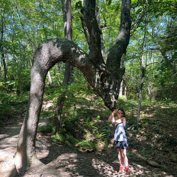
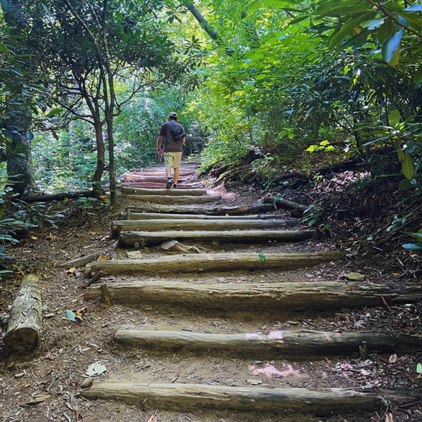
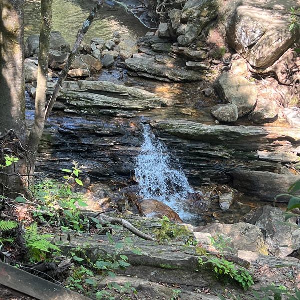
Tropical Storm Fred (2021) transformed Skinny Dip Falls into a completely different place; it was heartbreaking. However, Skinny Dip Falls is still one of the best short hikes near Asheville to ease back into shape for the outdoor season. It’s also perfect for kids trying to find their hiking stride. It’s also magical.
Start with the gorgeous Blue Ridge Parkway overlook of Looking Glass Rock. Then, spot the famous Dragon Tree, which touches the core of my soul every dang time.
The trail ends at a series of small falls and follows along parts of the Mountains-to-Sea Trail.
Consider pairing this hike with Black Balsam, Graveyard Fields, Mount Pisgah, or Fryingpan Mountain Tower. We have an entire Mount Pisgah area hiking guide full of details, including where to eat afterwards.
Craggy Gardens Trail (Some Sections Temporarily Closed For Helene Damage)
2026 Update: Estimates for full reopening keep changing, and while you can drive to and access Craggy Gardens, especially from the Visitor Center, sections and the picnic area with restrooms are still closed.
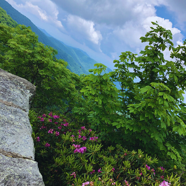
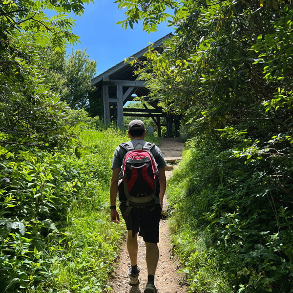
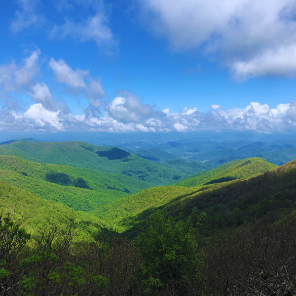
Craggy Gardens might be one of the “blockbuster” Asheville hiking trails, but it’s also our favorite for the views, picnic area, and proximity to the city along the Blue Ridge Parkway.
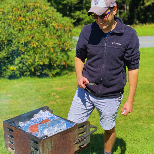
Tom and I pack charcoal and food to cook on the picnic area’s seasonally open grills. Plus, you have to dip over to the gazebo and spend time in Craggy Flats, enjoying the view from under the tree.

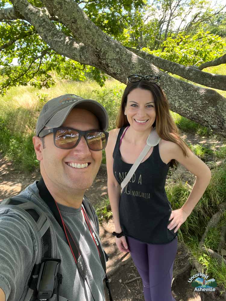
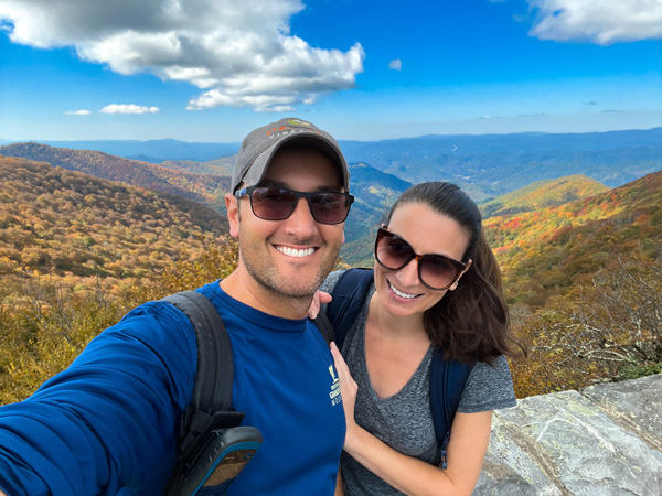
Not to mention the great vistas from the visitor center along with cute souvenirs. If you time it right, catch the summer rhododendron. Wear layers, though, as it gets chilly up here.
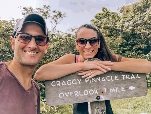
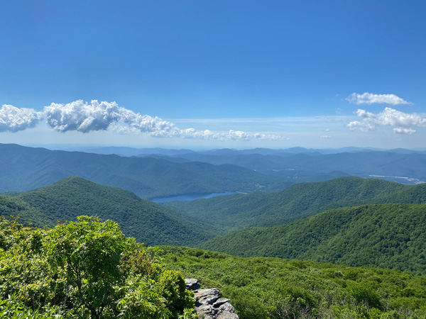
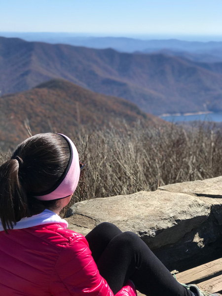
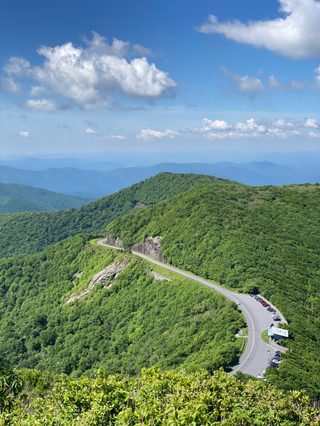
Just past Craggy Gardens, Tom and I also champion Craggy Pinnacle, a 1.4-mile out-and-back to a 5,892-foot summit. Pair them together for a great morning or afternoon.
Trombatore Trail To Blue Ridge Pastures (Hendersonville)
✨ Bearwallow Mountain Road through Gerton is still restricted following damage from Hurricane Helene.
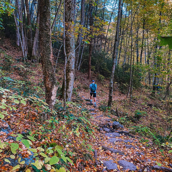
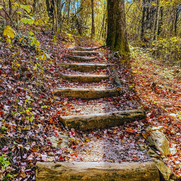
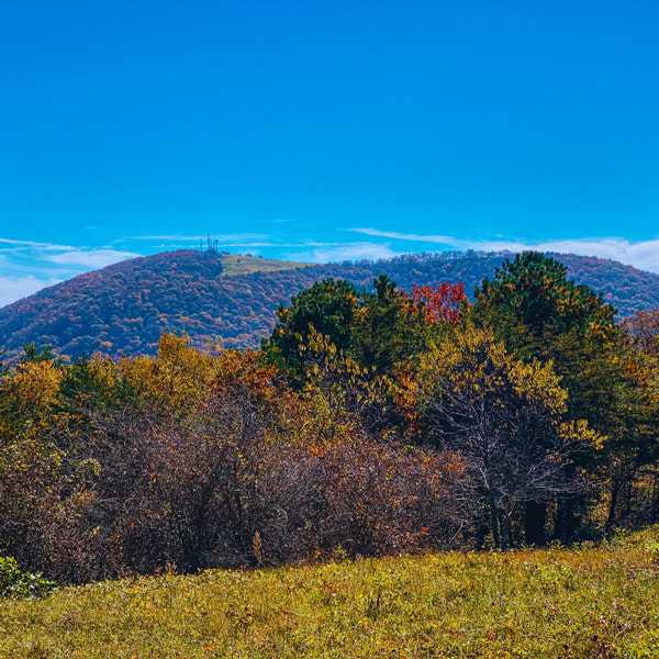
For me, Conserving Carolina has some of the most well-maintained trails, and they are constantly building them. We don’t often hear hikers talk about Bearwallow’s longer and harder neighbor, Trombatore Trail, but it’s just as worthy for the pasture views and terrific workout.
Pack a picnic or snacks. From Blue Ridge Pastures, spy Mount Mitchell and Black Mountain (North), Hickory Nut Gorge, and Bearwallow Mountain (South).
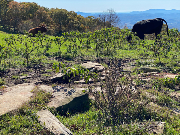
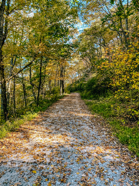
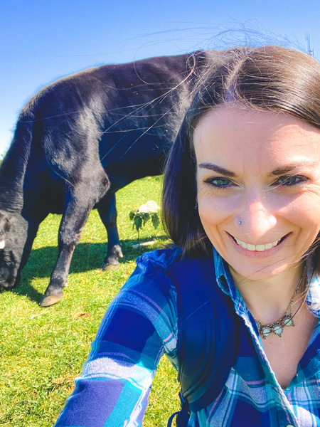
For a family-friendly hike across the street, Bearwallow Mountain Trail boasts side-eyeing cows and scenic views. Bearwallow is a 2-mile trek with the option to combine the gravel access road and forest trail to form a loop.
Easy Asheville Walks (When You Want The Scenery, Not The Sweat)
These are just a few great scenic and low-key nature trails in Asheville that we know our Uncorked Travelers will appreciate.
Did you know that Asheville has Secret Garden vibes?
Watch five everyday walks Tom and I enjoy, including free wildflower nature trails & ever-changing Biltmore Blooms. Featured in this video:
🌿 Asheville Botanical Garden
🏡 Kimberly to Charlotte Street + OWL Bakery (coffee & bread!)
🐢 Beaver Lake
🎨 RAD Riverwalk with Summit Coffee
🌷 Biltmore Estate

Bent Creek Experimental Forest
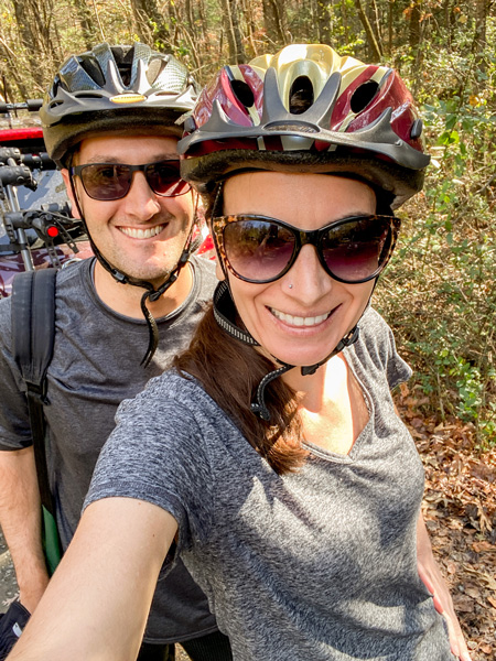
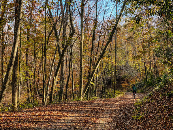
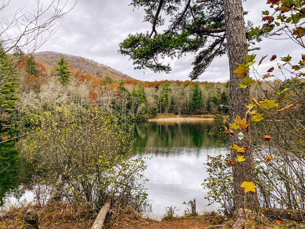
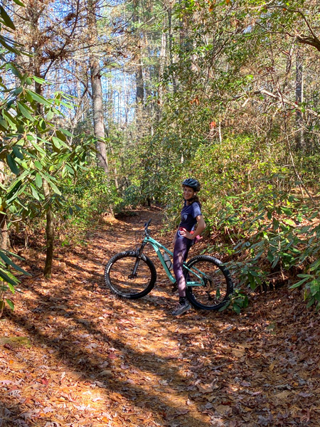
Located in South Asheville next to The NC Arboretum, about 25 minutes from Downtown AVL, enjoy numerous trails for walking and mountain biking, including Lake Powhatan and the Hard Times Trail. Read more about each trail here, as the area can be a tad confusing for first-time visitors (and even us). Level of difficulty and length vary.
The North Carolina Arboretum
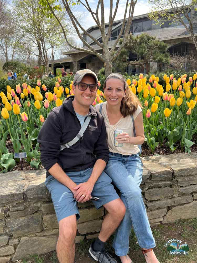
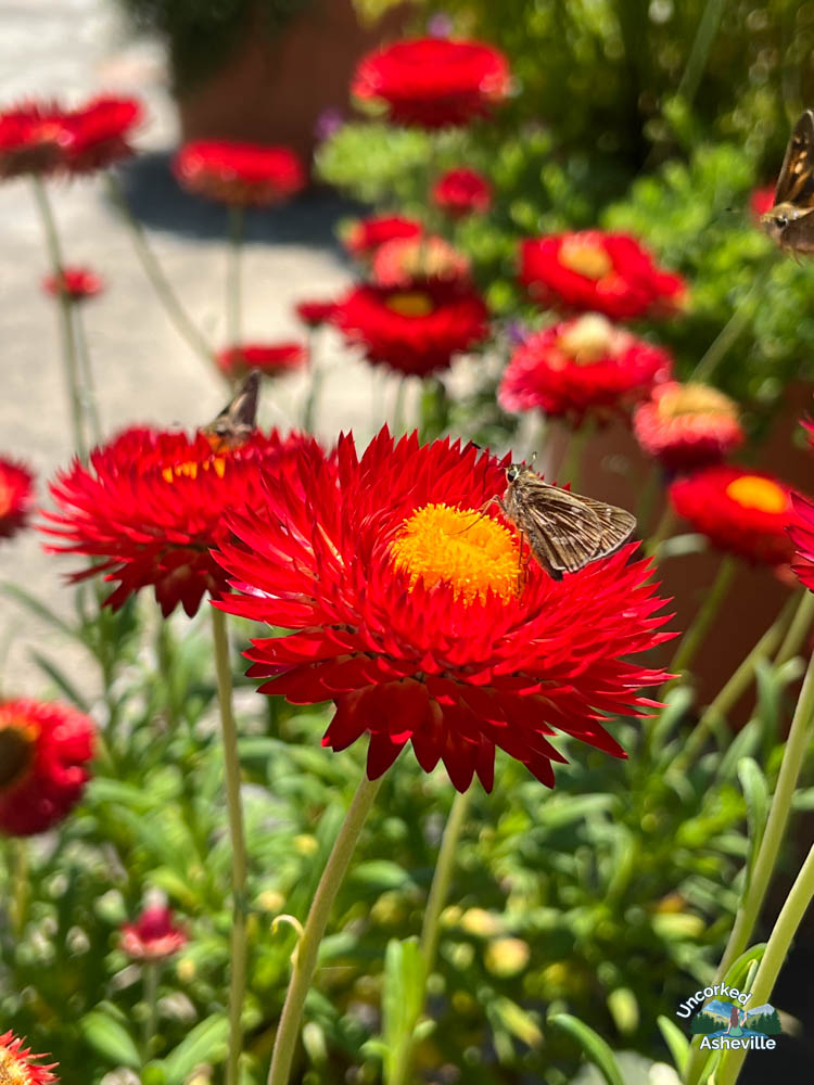
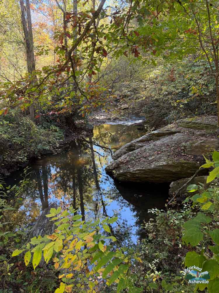
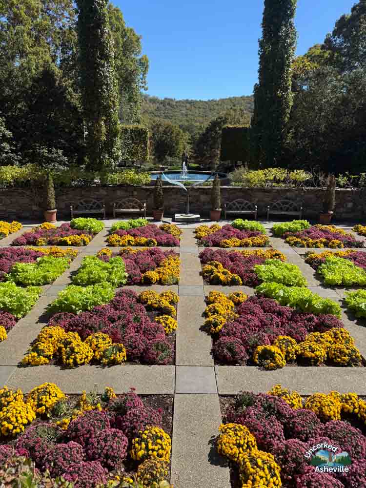
Tom and I have been members of The NC Arboretum since moving here. To access the grounds, you will have to pay for parking by vehicle/not number of people, or purchase a membership.
Along with nature exhibits, a visitor center, and a gift shop, enjoy The North Carolina Arboretum’s gardens, a bistro, and endless trails perfect for the entire family. Level of difficulty and length vary. Of course, Winter Lights in November and December is a must.
Asheville Botanical Garden
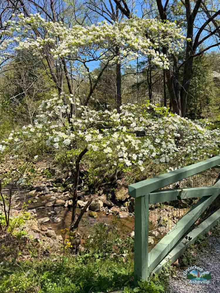
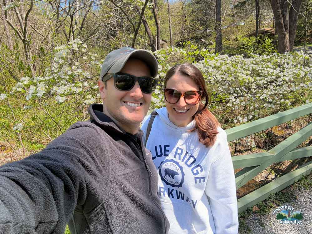
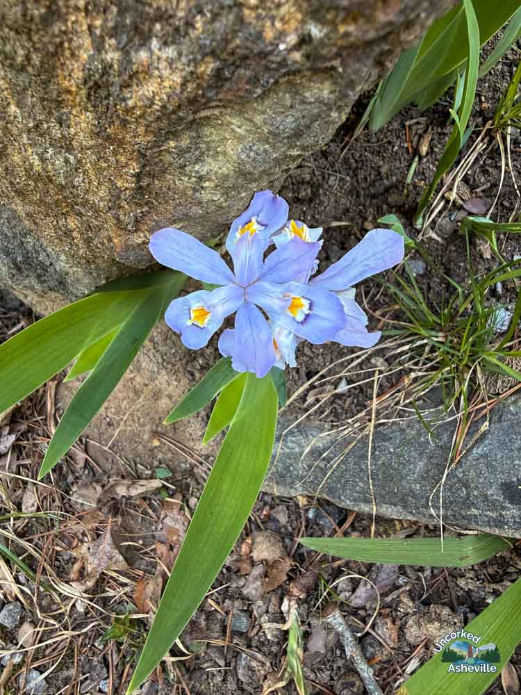
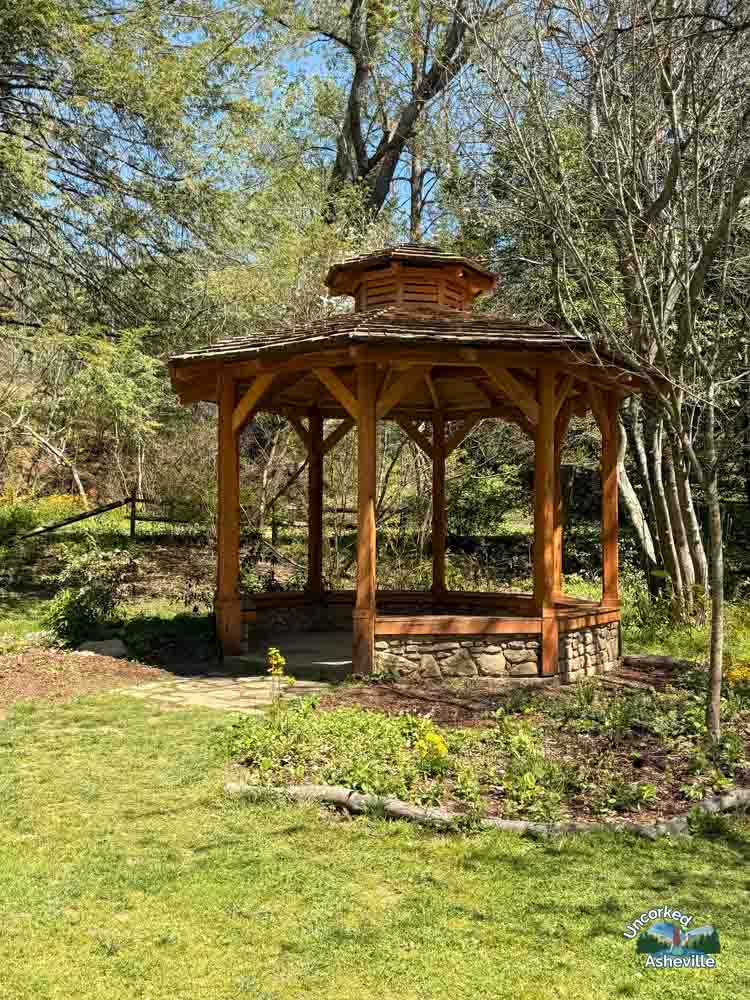
Just 10 minutes from Downtown Asheville at the UNCA campus, the Asheville Botanical Garden is free with a visitor center, gift shop, restrooms, and parking lot. Their nature trails are short and scenic, and this is a great spot for picnics and families. Spend an afternoon in North Asheville.
Beaver Lake
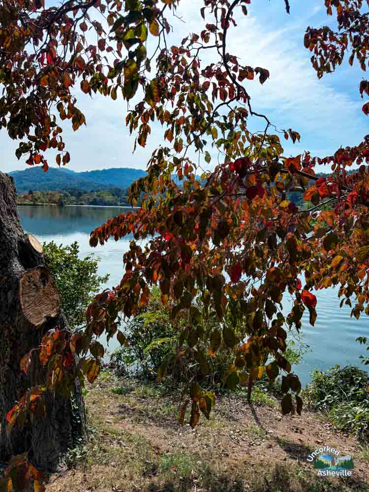

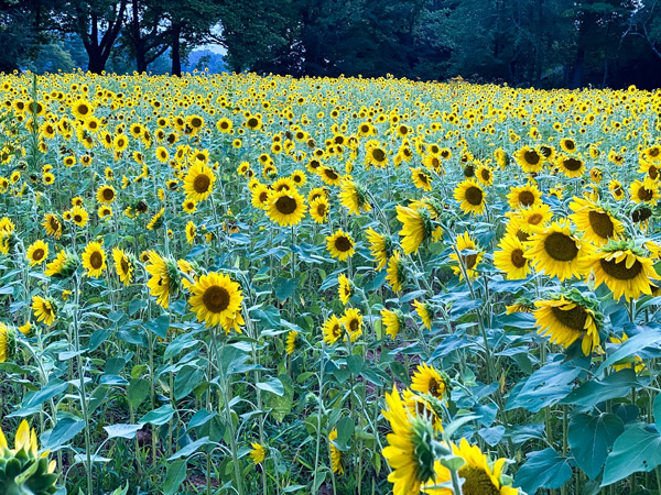
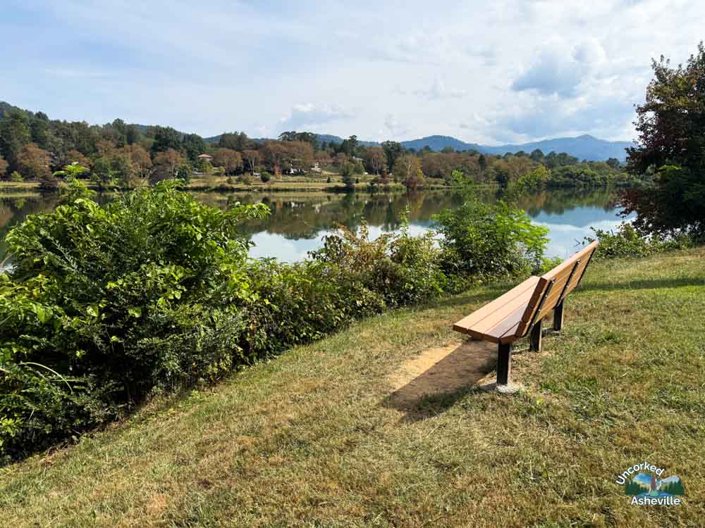
While in North Asheville, and under 5 minutes from the Asheville Botanical Garden, casually stroll the flat, 2.1-mile perimeter trail at Beaver Lake. While this is a privately owned lake, the public is more than welcome here. However, you will need a permit if you have a dog or are fishing.
Park at the free Beaver Lake Bird Sanctuary and leave a donation, or just past the lake in a side lot. It’s beautiful at sunset and when the wildflowers bloom.
Biltmore Estate Trails
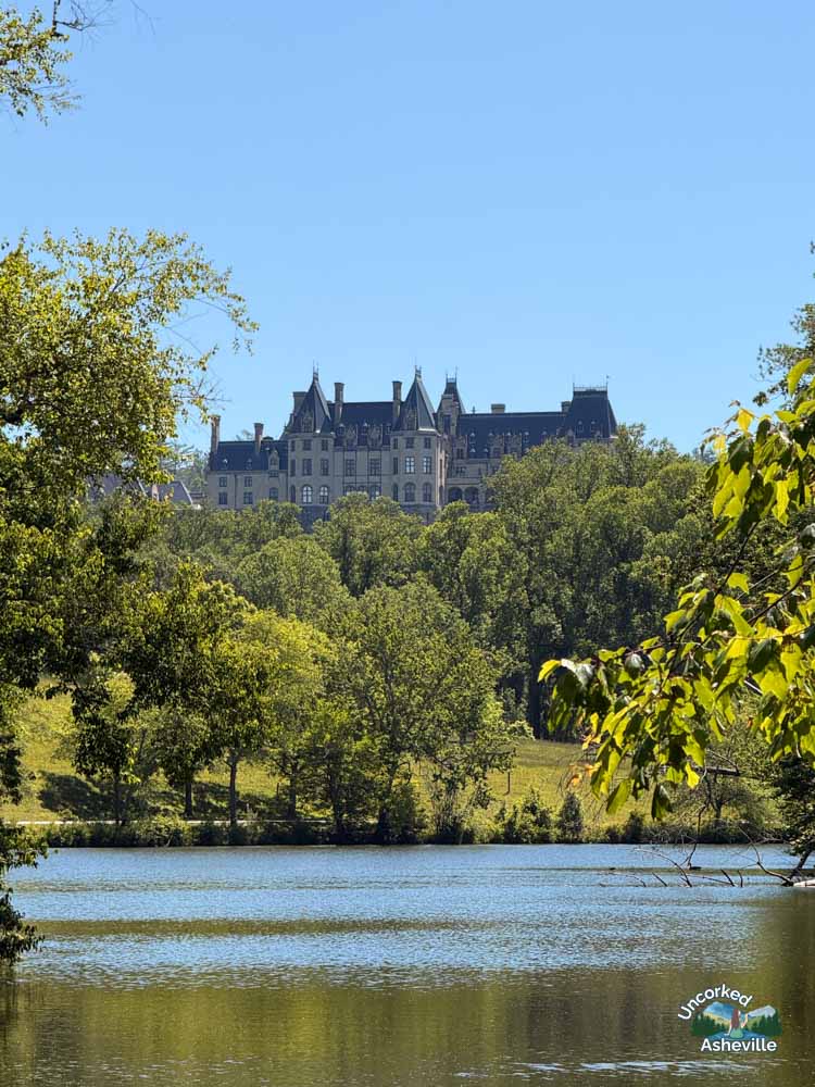
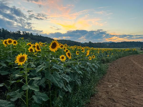
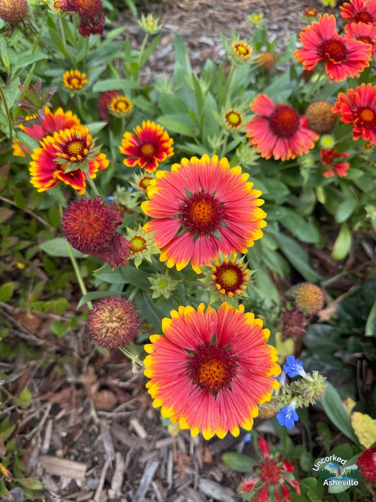
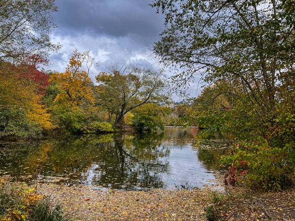
Tom and I have been Biltmore Estate annual passholders since moving here. We utilize our passes multiple times a month to access Biltmore’s delicious restaurants and special exhibits. It’s worth it.
For safe and easy Asheville hiking trails, you cannot go wrong either. The trails are contained, beautiful, well-kept, and plentiful. Some are paved, and families bike with their kids. These trails are also great for solo visitors.
Tom and I most love parking at Antler Hill Village and walking the Lagoon and Deer Park Trails to the side of Biltmore House, into the Walled Garden.
You will need a ticket, overnight property reservation, or annual pass to access Biltmore’s 22+ miles of hiking and biking trails. Get started with our insider guide to Biltmore Estate.
🥾 Be sure to let us know your favorite hikes in the comments. We are always updating and changing our website guides. 💙 Christine of Uncorked Asheville
As a new subscriber, I just want to say that your articles are very interesting and informative. Thank you so much for sharing so much information. 😊
I appreciate that so much! Thank you!
There are so many great sounding hiking trails around Ashville. It kind of reminds me of where I live as there are so many trails and hiking spots to check out. Even though I’m not really into hiking, much to my husbands dismay, I think it would be fantastic to visit some of these trails just for the scenery alone. I like how there are different lengths and difficulties so those who aren’t big on hiking can still get out and enjoy the trails without beating themselves up along the way.
I cannot believe how many hiking trails there are around Asheville. This isn’t even half of them. Some of the Asheville trails are more like casual nature walks if hiking isn’t your thing. Those walks are always chiller and more pleasant, especially at places like Biltmore, The NC Arboretum, and the Botanical Gardens at Asheville.